


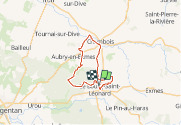


43 km | 53 km-effort


User


FREE GPS app for hiking
 SityTrail
IGN / Geographical institutes
SityTrail World
The world is yours!
Trail Walking of 20 km to be discovered at Normandy, Orne, Gouffern en Auge. This trail is proposed by neitag61.
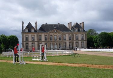
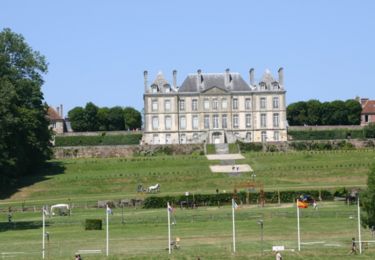
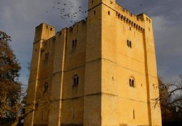
Départ arrivée au pied d"un magnifique chateau. Passage du coté de Trun, un des hauts lieux de la dernière bataille de Normandie en 1944
Mountain bike
Equestrian
Walking

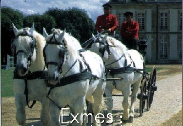
Equestrian

Mountain bike
Walking

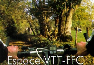
Mountain bike
Mountain bike
Mountain bike